Transform Your Business with our 3D Mapping and Modelling Services
In today's technological landscape, 3D mapping and modelling sets the stage for a new level of understanding and interaction with our physical environment.
By capturing high-resolution data from a unique aerial vantage point, our 3D mapping solutions offer a comprehensive and detailed view of landscapes, infrastructure, and properties. From real estate to construction, agriculture to environmental management, these transformative tools enable businesses to attain unparalleled accuracy in strategic planning initiatives, resource management, and site evaluation.
As you explore the interactive 3D models featured below, it's important to keep in mind that these are web-optimized versions. We've purposefully designed these online models to be lighter and quicker to load, ensuring a smooth and efficient online experience.
However, note that the original models offer a significantly higher level of detail, accuracy, and precision. Originating from hyper-accurate point clouds that can serve as a standalone client deliverable, each model boasts a precision of within an inch due to our state-of-the-art drone technology. This level of detail is unparalleled and provides an unmatched degree of accuracy for complex measurements and comprehensive spatial understanding. While these online versions provide a valuable glimpse into the capabilities of 3D modeling, the original datasets are unmatched in their versatility and accuracy.
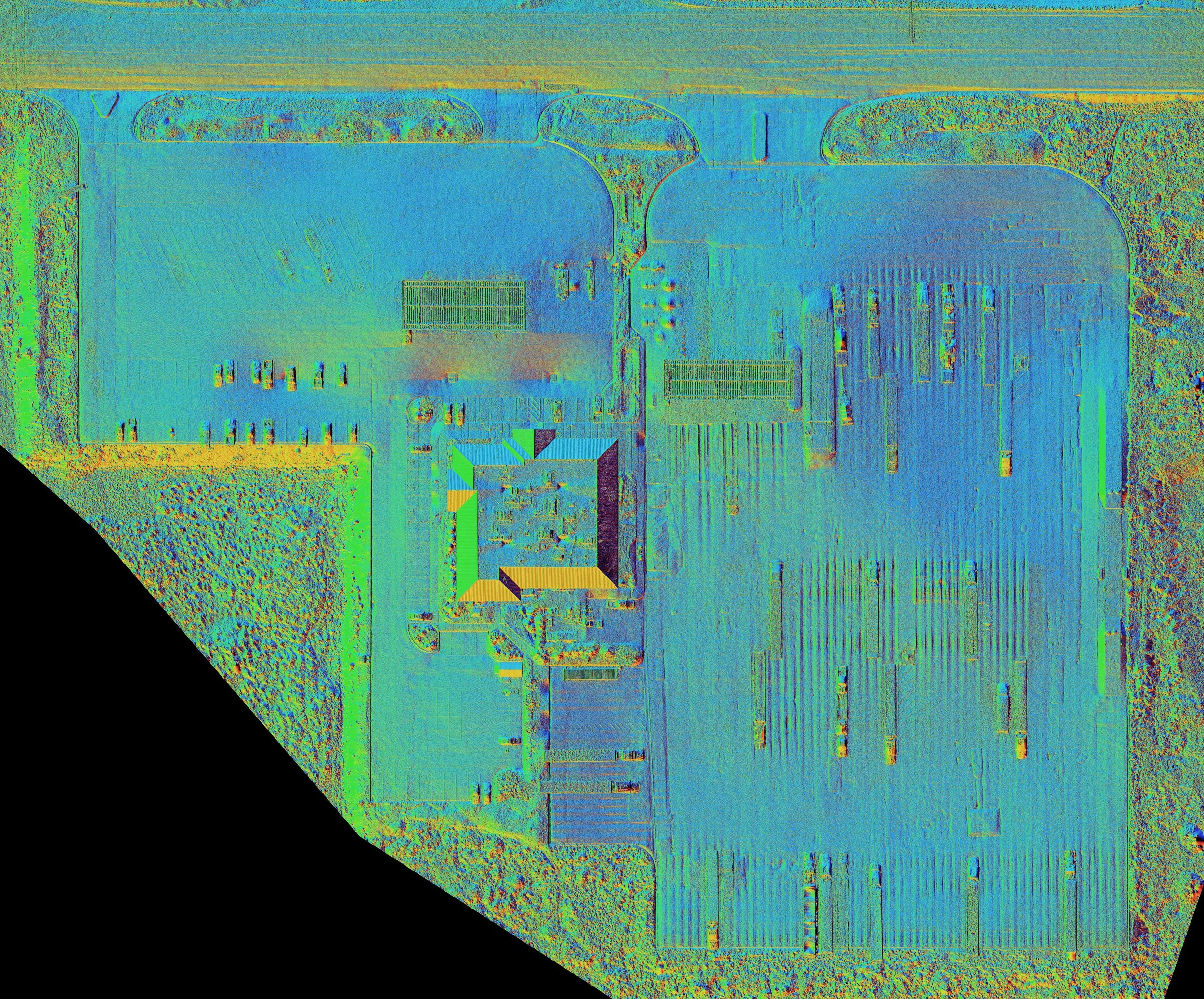
Take Advantage of Precision at a Glance with our 2D Mapping Services
In the quest for strategic decision-making, 2D mapping tools still provide a wealth of critical information when 3D models aren’t necessary. Our bleeding-edge drone tech can capture detailed views of landscapes and infrastructures, delivering high-quality orthophotos for accurate measurements and spatial understanding.
But we don't stop at image capture. Our advanced tools allow for detailed elevation and slope analysis, essential for industries like construction, real estate, and agriculture, where understanding terrain is key.
From mitigating construction challenges to optimizing land use, our 2D mapping data enhances your operational efficiency.
See below for a sample of deliverables given to one of our national clients to aid the planning and development of new electric charging stations in Southeast Idaho.

An Orthophoto displays an aerial perspective of the construction site, capturing intricate details from building outlines to equipment placement.

A Digital Elevation Model (DEM) illustrates the elevation profile of a property, revealing nuanced topographical details such as hills, slopes, and depressions

A Slope Diagram effectively highlights the angle of inclines across the property, detailing gradient shifts from gentle slopes to steep embankments.
An illustrative Aspect Map clearly shows the directional orientation of the terrain's slopes, offering insight into how water flow may interact with the landscape.
Revolutionizing Inspections and Site Monitoring with Drone Technology
Safety and efficiency are paramount when it comes to conducting inspections and monitoring critical infrastructure. Traditional methods can often be time-consuming, expensive, and, most importantly, fraught with potential safety risks. This is where KP Drone Services comes in, revolutionizing the process with advanced drone technology.
Our state-of-the-art drones can easily navigate challenging environments, capturing high-resolution images and video to thoroughly inspect even the most inaccessible areas. From identifying hairline fractures on wind turbines to detecting corrosion on powerlines or structural issues on radio towers, drones can spot potential problems early - reducing repair costs and minimizing downtime.
By reducing the need for manual inspections, we not only enhance safety by keeping workers out of potentially hazardous situations, but we also significantly cut down inspection times, delivering data quickly and efficiently. This allows for swift decision making, ensuring that your operations run smoothly with minimal disruption.
At KP Drone Services, we believe in leveraging technology to make complex tasks simpler, safer, and more efficient. Reach out to see how our drone inspection services can revolutionize your maintenance practices, ensuring the longevity and reliability of your critical infrastructure.